

PREMUŽIĆEVA PATH
Premuziceva track was built around 1930. year, and serves as an educational trail.
It was created by Anthony Premuzic graduate. forestry engineer. Anthony Premužić the famous architect and builder of forest roads and hiking trails and tourist.
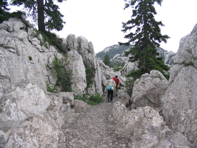
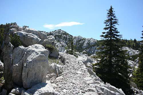
The trail takes you Premuziceva one of the camp in the settlement of Matkići near Lopar, near the Church St. Peter in Supetarska dear. The trail crosses the main ridge of the island in the midst of which there is a closed valley Fruga. Its length is 8 km and there are no drinking water or restaurants, so it is recommended to bring water to drink. The trail is exposed to the sun, and part through the woods. Loparski part of the trail is exposed to the bora. The trail is not recommended for cyclists.
Route 2 takes you Premuziceva of Kam protected through the woods to Uncle Kalifront southern coast, then along the coast to Frkanj, and the Gulf of St. Euphemia. The trail is 15 km, and mostly through the woods. On the track there ugostiteljiski Gožinka facilities in the bay, in Suha Punta, and during the tourist season and the Frkanj. The coastal part of the trail is exposed to the south. The trail is not recommended for cyclists.
Trail Rab - Maman leads from the city walls in Rab, along the bay of St. Euphemia to Kampor, the white road to the village Gonar, then to the bay Dumići, Dumići around the peninsula, along the coast to the passage where it needs to cross the island Maman. The path is about 14 km, depending on the chosen path, and mainly passes through a broad and coastal walkways that are good for bikes. The tour of the peninsula and the coast Dumići Maman is possible only on foot or by boat. Catering facilities are located in Bay St.. Euphemia, in Kampor, Gonar and Dumići. The path to Dumic And Maman was exposed Buri. Access to the track or the possible return by bus to / from camps or Dumuća.
Image gallery Order photographs


Location
Tel: +385 (0)51 724-064
Mail: tzg-raba@ri.t-com.hr
Web: www.tzg-rab.hr
Coordinates: 44.77297020, 14.71123695 How to get there?
By clicking "How to get there" Google maps will open. Insert your starting adress and click "Get directions". A datailed printable plan will appear.


