

RIVER RJEČINA PROMENADE
The promenade is designed as a continuous pedestrian route from Trsat to the source of the river.
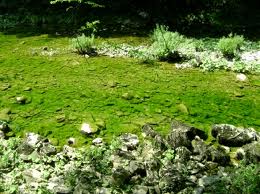
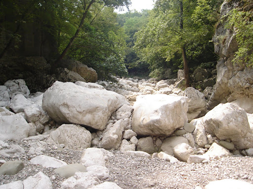
Pathway begins at Trsat and ends at the source of the river. These valuable natural beauty is used in sports and recreational purposes. Rječina promenade is part of the project of revitalization of Rječina River area.
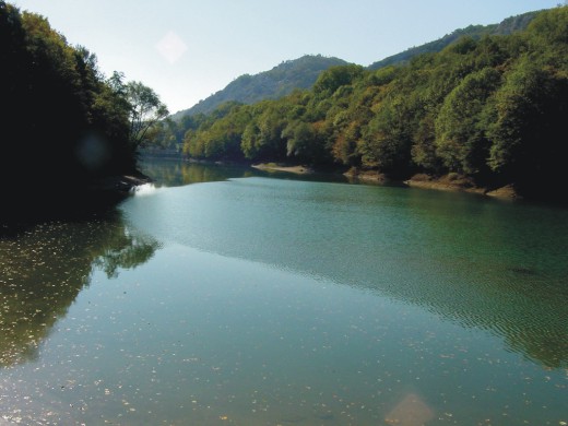
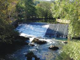
Promenade is designed as a continuous pedestrian route from Trsat to the source of Rječina River. It is 19.5 kilometers long, with many landmarks and tables. It streches from Trsat to Catherine bridge and includes locations: Žakalj - Podbadanj - Koporovo - Most Pašac - Grohovo - dams and accumulation lake Valići - Drastin - Lukeži - Ratulje - Martin's village - Trnovica - Kukuljan - the source of the river.
Image gallery Order photographs
Location
Web: www.tz-rijeka.hr
Coordinates: 45.33408487, 14.45177436 How to get there?
By clicking "How to get there" Google maps will open. Insert your starting adress and click "Get directions". A datailed printable plan will appear.


